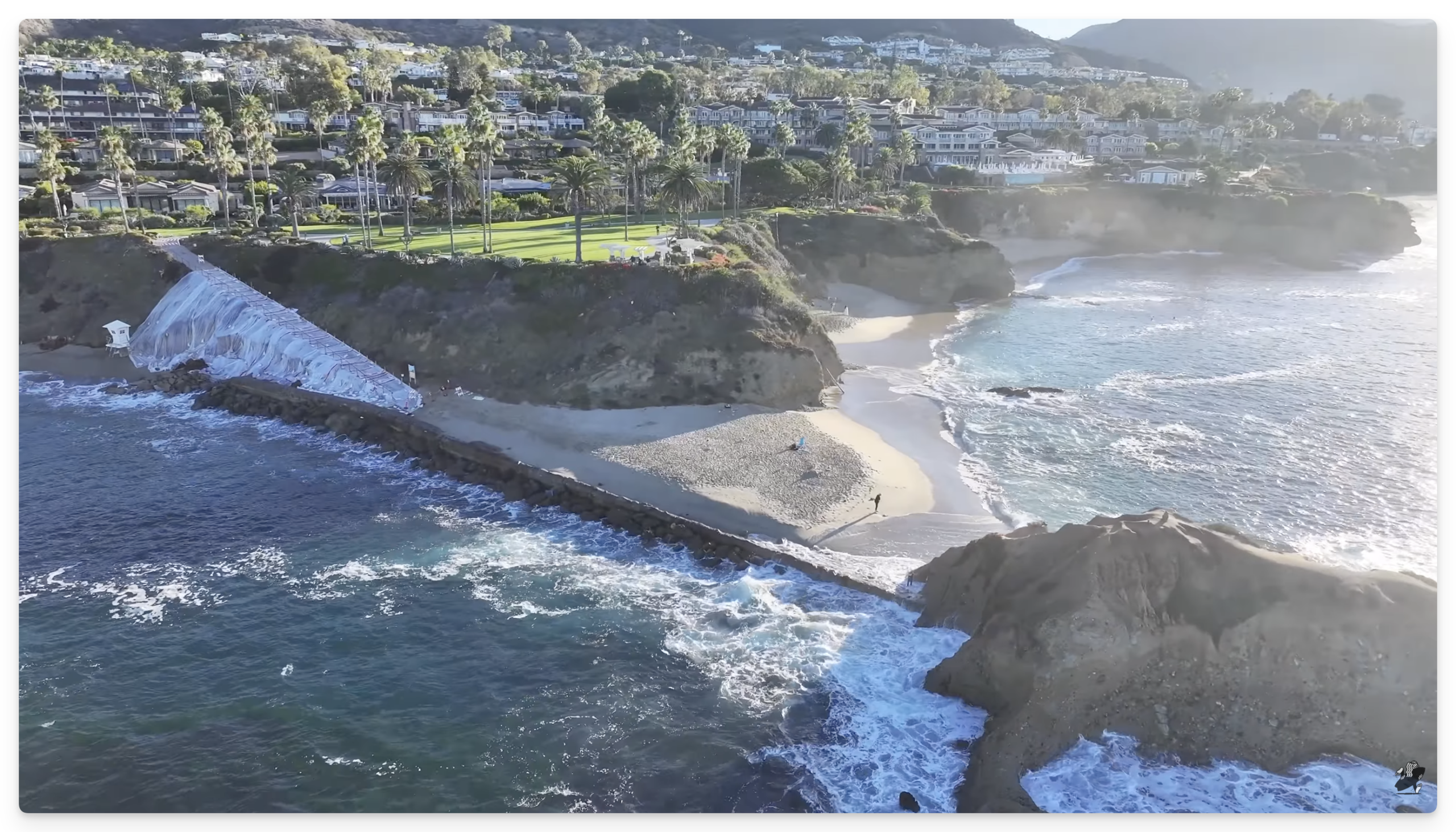
I previously linked to a local skimboarder who runs a YouTube channel and he was showing the crack that had formed along PCH between the border of Laguna and Newport. I’ve been following his channel ever since. He’s done a good job of documenting the combined effects of strong a El Niño, Kelvin Waves, and King Tides.
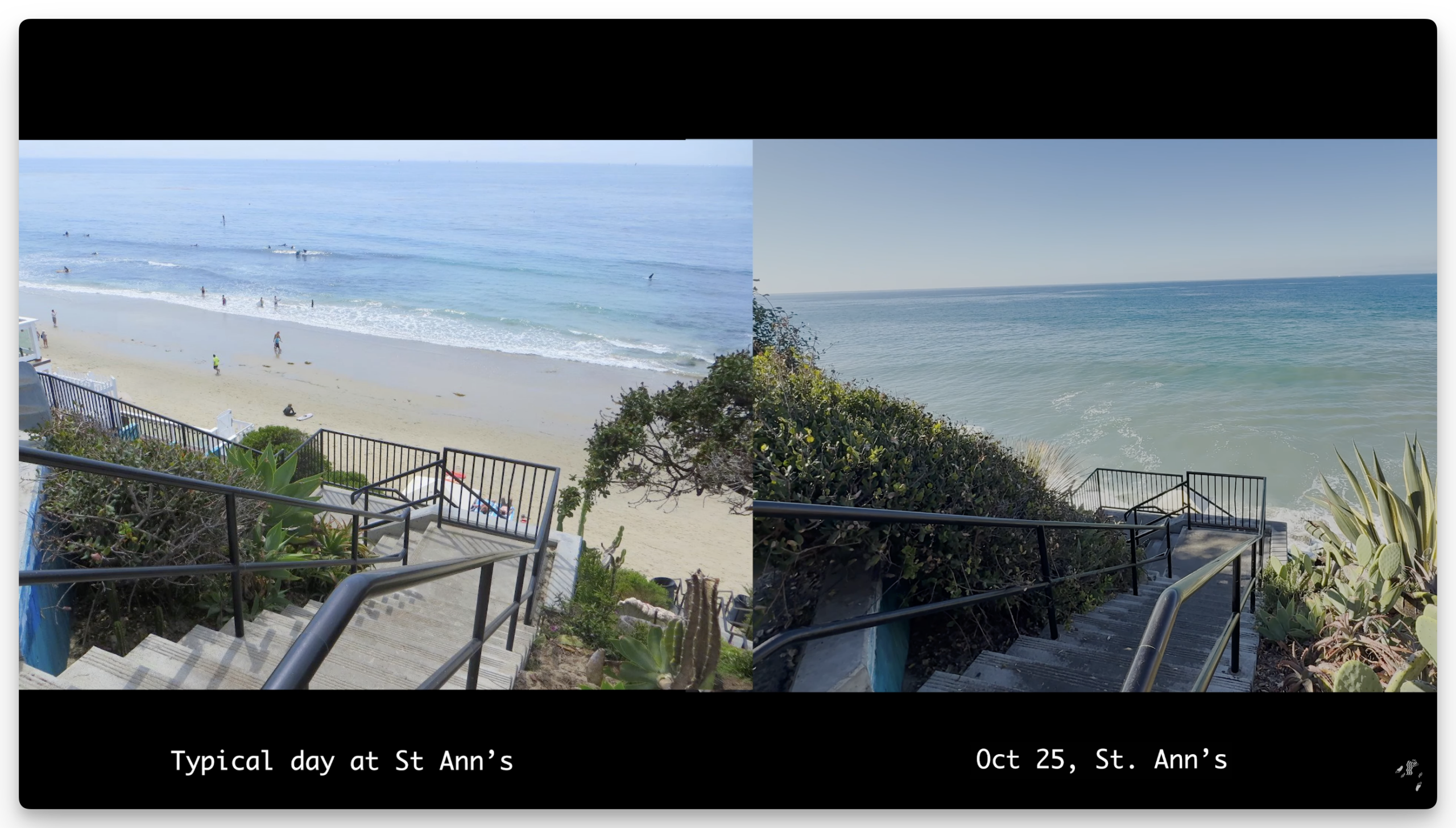
They’ve actually gone through historical photos in Google Maps to show how our beaches looked then to how they look now. It is absolutely stunning and heart breaking to see.
Our favorite beach, Goff Island/Treasure Island, is partly inaccessible because the ramp going down from the Montage is starting to crumble.